Kraków, Polska

Remote Sensing and Geo Informatics

II stopnia
Spis treści
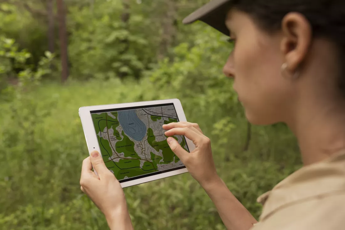
side-view-woman-using-tablet

⇑Remote Sensing and Geo Informatics na AGH

Język wykładowy: angielskiStudia w języku angielskim
Grupa kierunków: informatyczne
System studiów: sta­cjo­nar­ne

⇑Why study Remote Sensing and Geo Informatics (Master's) at AGH?

dlaczego-warto-studiowac-na-AGH
Why study it:

The Master's programme in Remote Sensing and Geo Informatics at AGH University of Krakow focuses on using remote sensing and geoinformatics technologies in spatial data analysis. It is designed for graduates of both engineering and bachelor's degrees who want to acquire, analyse and interpret data from satellites, aircraft, drones and other sensors.

Programme: large blocks, mostly remote

Teaching is organised in large blocks rather than many small separate subjects. Only about five weeks of classes take place live at the university, most classes can be conducted remotely, and the work is mainly workshops and group projects – traditional lectures are kept to a minimum.

You learn to process and analyse multispectral, hyperspectral, thermal and radar images, interpret land cover and land use changes, environmental transformations and ecological and geological processes, and use AI and machine learning to analyse large geospatial datasets and produce models, forecasts and thematic maps.

Labs: sensors, GIS and image processing

You work with data and tools such as:

  • data from satellites, airborne sensors, drone LiDAR scanners and thermal cameras
  • geographic information systems (GIS), image processing software and spatial data analysis platforms
  • algorithms for automatic image classification, change detection and object identification
  • programming, 3D modelling and data visualisation
  • geospatial data integration, databases, metadata and interactive thematic maps

Placements: research projects, internships and conferences

Practical experience comes from research projects, internships in companies and institutions related to remote sensing and geoinformatics, workshops and industry conferences – and from collaboration with experts in the field.

After graduation: spatial data across many sectors

Graduates are prepared to work as remote sensing and geoinformatics specialists in environmental protection and monitoring, spatial and urban planning, crisis management, agriculture, energy, transport and scientific research. They can apply spatial data analysis to real-world problems, support decisions on natural resource management and present their results in graphical and interactive form.

As of the 2026/27 admissions, based on the programme page at rekrutacja.agh.edu.pl.

⇑Test: sprawdź czy Remote Sensing and Geo Informatics to studia dla Ciebie!

military-it-professional-gathers-intelligence-from-world-map-projection

Odpowiedz na wszystkie pytania i sprawdź, czy Remote Sensing and Geo Informatics to studia dla Ciebie!

1. Czy chcesz pogłębić wiedzę w zakresie akwizycji danych satelitarnych i lotniczych?

2. Czy interesuje Cię przetwarzanie obrazów satelitarnych i klasyfikacja terenów?

3. Czy chcesz rozwijać umiejętności w analizie przestrzennej i modelowaniu w GIS?

4. Czy jesteś gotów/gotowa na udział w projektach badawczych dotyczących analizy zmian środowiskowych z użyciem RS?

5. Czy inwestycja dwóch lat studiów magisterskich zwiększy Twoją konkurencyjność w branży geoinformatyki?

6. Czy zależy Ci na specjalizacji w analizie danych LIDAR i chmur punktów 3D?

7. Czy chcesz rozwijać kompetencje w tworzeniu map tematycznych i wizualizacjach przestrzennych?

8. Czy interesuje Cię integracja danych RS z IoT i sensorami naziemnymi?

9. Czy jesteś gotów/gotowa na współpracę z geologami, ekologami i analitykami danych?

10. Co najbardziej motywuje Cię do podjęcia studiów magisterskich na kierunku Remote Sensing and Geo Informatics?

Kontakt:

Al. Mickiewicza 30
30-059 Kraków

Rekrutacja:
tel. +48 12 617 36 84
(czynny przez cały rok w godz. 9.00-15.00)
Wirtualny Dzień Otwarty

Wiadomości:

Polityka Prywatności